 On a recent Saturday I loaded up my mountain bike and drove the trifling 20 minutes to Waterton Canyon. It's located just south of C-470 and Wadsworth Blvd here in Metro Denver.
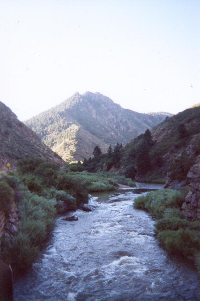 I arrived at the canyon around 7am. The sun was up, but not far - the light hadn't quite come over the rim of the canyon as I pedaled in the cool air.
A dirt road follows the canyon down to the Strontia Springs Dam. It's easy biking, with a steady but gentle grade. It's deceptively gentle, in fact, because I was feeling the effects rather more than I had expected.
Nevertheless, I pressed on. I was passed by nearly everyone. My constant stops for photo ops didn't help that situation, but if there's one thing I've learned about photography, it's never to waste good lighting.
 Some interminable number of miles later, I was feeling tired and hungry (why did I think it was a good idea not to eat breakfast?), so I stopped at a convenient rock outcropping overlooking the river.
I had no idea how much further I had to go, so I only ate a bit of a trusty Clif bar. A cold wind picked up to keep me from lingering. I remounted and took off. Just around the bend was the Strontia Springs Dam, my designated turnaround point for the day.
Above the dam, a path connects with the Colorado Trail. There's some great singletrack up
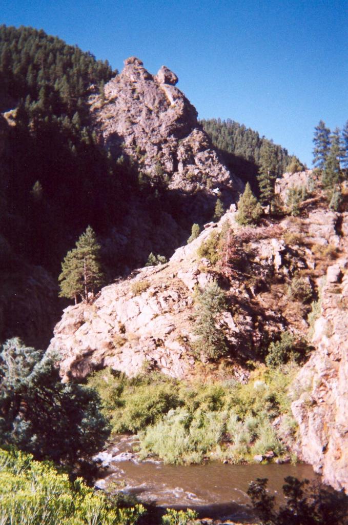 there, but it wasn't in the cards for that day. Partially because I was feeling burnt out, and partially because the trail is quite busy on weekends with Super Bikers with whom I had no wish to compete.
I did stop and actually read the message board near the dam for once. Camping is allowed once you hit the Colorado Trail, and there's even a site nearby. This bodes well for my Continental Divide plans. I could hike in through Waterton, camp the first night at that site (or press on, energy permitting) and walk a few days of the trail. Bango! All I'd need to do is find an exit point near a road so that I could arrange for pickup, thus avoiding the out and back problem.
After chatting with some other bikers, I took off for the long coast down the canyon. I can remember a time when the speed was scary for me. That time is long past, apparently, because I pedaled the whole way.
 Right near the entrance to the canyon, there was a great sandstone face that was begging for some bouldering. I was happy to oblige and it was super fun. On top, I sat for a while, basking in the sun and people watching. I downclimbed and decided to get fancy with an overhanging bulge. Unfortunately, it was more sand than stone and it crumpled under my hands. Luckily, I wasn't far from the ground at the time.
Note to self: New Balance trail runners are not optimal for bouldering. Not terrible, but not optimal.
Gorgeous canyon with biking, fishing, hiking and camping? 20 minutes from home. Today's reason why the west is the best.
No comments:
Post a Comment